
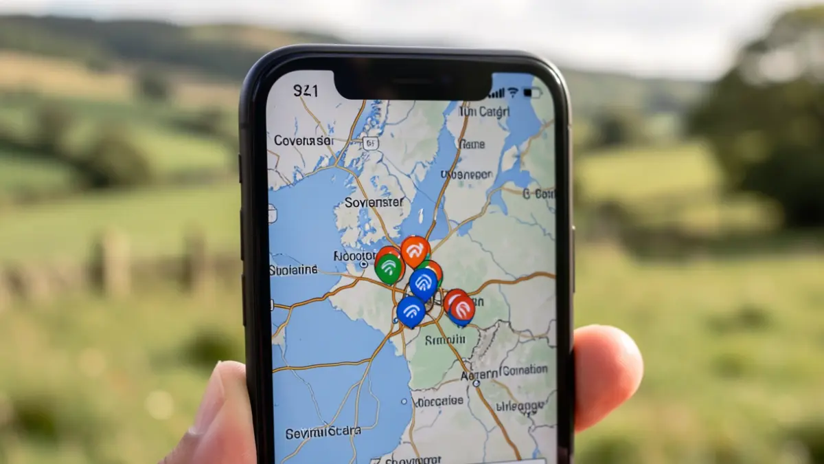
The new tool was developed through a collaboration between Somerset Council and mobile mapping specialist Streetwave. Data was gathered using equipment installed on recycling collection vehicles as they travelled their normal routes, measuring mobile phone signal performance and collecting millions of data points.
Cllr Mike Rigby, Lead Member for Economic Development Planning and Assets, stated that reliable mobile connections are essential for those living and working in Somerset. He added, "This project gives us a much clearer picture of the mobile phone signal people are experiencing, helping residents and businesses make more informed choices about the services available to them."
The collected data provides one of the most detailed pictures of mobile connectivity across Somerset to date. This information allows residents and businesses to compare coverage in their specific areas and make informed decisions about mobile providers.
Unlike Ofcom's coverage information, which relies on data from network operators, the Streetwave survey gathered real-world measurements directly from roads and communities. These findings will assist Somerset Council in identifying areas with strong connectivity and those requiring further improvements.
The survey data will also serve as valuable evidence in discussions with mobile network operators and government regarding future enhancements to digital connectivity throughout Somerset. Residents and businesses can access the postcode checker on the Somerset Council website.